
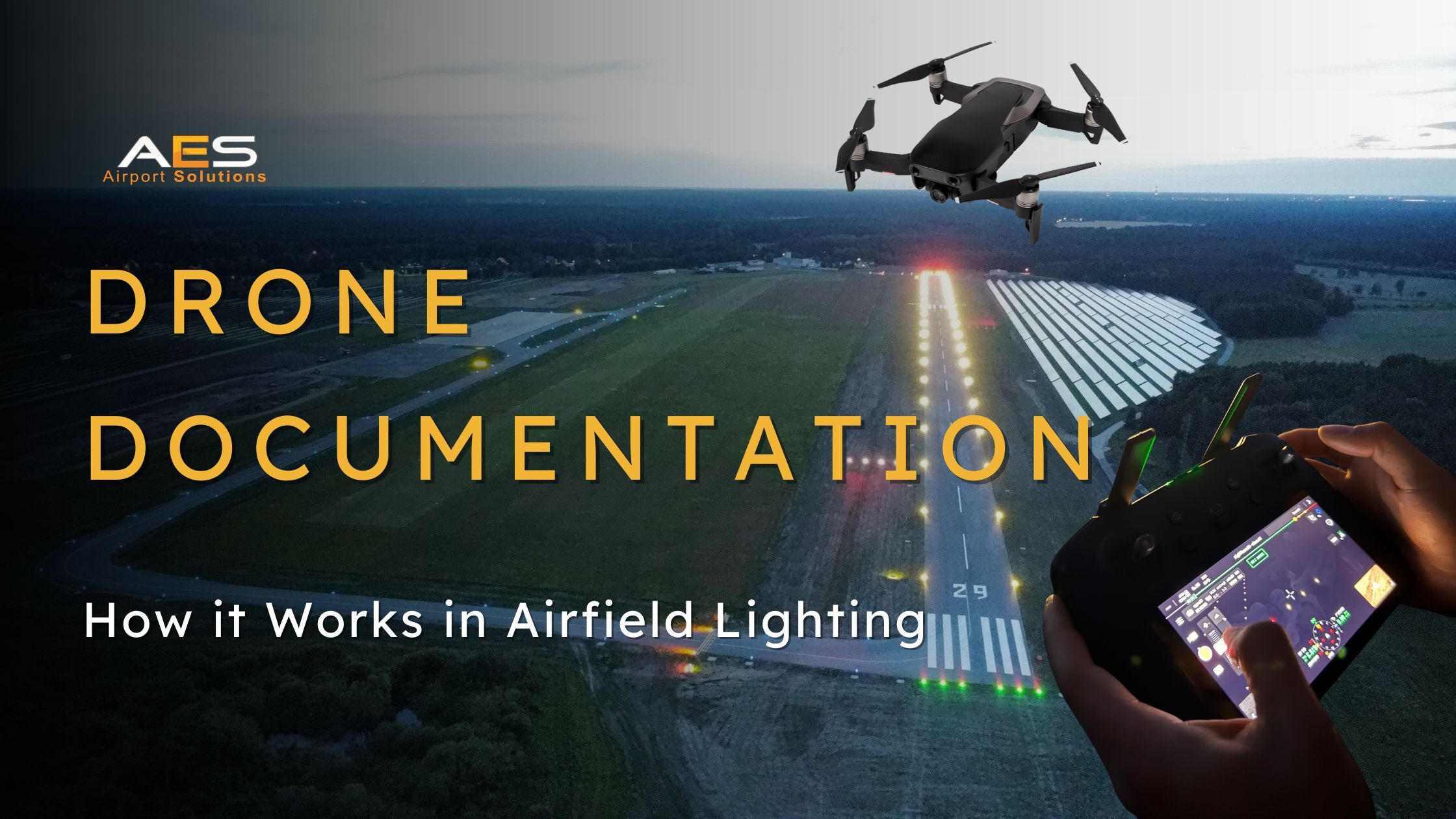
When an airfield ground lighting project is completed, the natural instinct is to move on to the next job. The lights are installed, the circuits are tested, the photometric readings check out, and the runway is handed back to operations. Job done.
But there is one step that is easy to overlook and hard to replace once the window has passed: aerial documentation.
A drone flight over a freshly installed AGL system captures something that no ground-level inspection, no circuit test, and no checklist can provide. It shows the entire lighting system as a complete picture, from above, exactly as a pilot would see it on approach. And that perspective reveals things about alignment, spacing, colour transitions, and overall system coherence that are simply invisible from the surface.
This article explains why aerial documentation is becoming a standard part of professional AGL project delivery, what drone equipment is needed to do it properly, and what the resulting footage and imagery can be used for.
What Aerial Documentation Reveals
Walking along a runway after an installation, a technician can verify that each individual fitting is correctly positioned, aligned, and functioning. But they cannot see the system as a whole. They cannot tell, from ground level, whether the spacing of 30 runway edge lights over 2 kilometres looks uniform to a pilot descending at 3 degrees. They cannot verify at a glance that the colour transition from white to yellow on the last 600 metres of edge lighting is clean and consistent. And they cannot assess whether the approach lights, threshold lights, centreline lights, and TDZ lights all work together as a coherent visual pattern.
A drone at 30 to 100 metres of altitude can see all of this in a single frame. From the air, asymmetries and alignment issues that would take hours to detect from the ground become immediately obvious. A fitting that is rotated two degrees off axis, a single light that is dimmer than its neighbours, a gap in the centreline sequence: all of these show up clearly in aerial footage, especially at night when the lights are the only visible reference against the dark pavement.
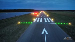
For airports and contractors, this kind of visual verification is valuable at several levels. It confirms that the installation matches the design specification. It provides evidence for certification authorities that the system has been installed correctly. It creates a baseline record that can be compared against future inspections to detect degradation over time. And it gives the airport a set of professional images and footage that can be used for internal reporting, presentations to stakeholders, or simply as a visual record of the investment.
The Best Time to Document: Right After Installation
There is a narrow window for capturing an AGL installation at its best. Immediately after commissioning, every fitting is new, every lens is clean, every circuit is functioning at full capacity, and the pavement markings are fresh. This is the moment that represents 100% serviceability, the benchmark against which everything will be compared going forward. The video below shows one of the runways where we have recently supplied and installed equipment. The video shows the newly installed lights, ready for aerial documentation:
Once the runway is returned to operations, rubber deposits start accumulating on inset lights, dust and debris settle on elevated fittings, and the first maintenance issues begin to appear. Documenting the system before any of this happens creates a visual reference that is invaluable for future maintenance planning and for demonstrating what «fully operational» actually looks like.
Night is the only time to do it properly. Airfield lights are designed to be seen in the dark, and that is when their true character is revealed. The colours, intensities, beam patterns, and spatial relationships between different light types only become apparent after sunset. Daytime drone footage of an AGL system shows hardware on pavement. Nighttime footage shows the system doing its job.
Drone Equipment for Airfield Lighting Documentation
Not every drone is suitable for this kind of work. Airfield lighting documentation has specific requirements that go beyond what a standard consumer drone can deliver.
Camera and Sensor
The most important factor is low-light performance. Airfield lights are bright points against a very dark background, which creates extreme contrast that can overwhelm a basic camera sensor. The drone needs a camera with a large sensor (1-inch minimum, ideally Micro Four Thirds or larger) that can handle high dynamic range scenes without blowing out the lights or losing all detail in the surrounding pavement.
A wide aperture is essential. An f/2.8 lens or wider allows more light into the sensor, which reduces the need for very high ISO settings that introduce noise and grain. The best results come from drones with adjustable aperture lenses that can be opened to f/1.7 or wider.
Manual exposure control is a must. In automatic mode, the camera will try to average the exposure across the entire frame, which typically results in either overexposed lights (white blobs with no colour detail) or an underexposed background (pure black with no context). Manual mode allows the operator to set the exposure specifically for the lights, keeping the colour and intensity visible while accepting a darker background.
Shooting in RAW format rather than JPEG preserves far more data in the highlights and shadows, giving much more flexibility in post-processing to bring out details that would be lost in a compressed file.
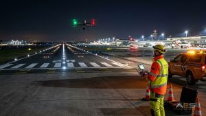
For video, 4K resolution at a minimum is recommended. Higher resolutions (5.4K or above) provide more room for cropping and reframing in post-production. A high bit depth (10-bit colour) captures smoother colour gradients, which matters when documenting the precise red to white transitions on PAPI systems or the white to yellow transitions on runway edge lights.
Flight Characteristics
Beyond the camera, the drone itself needs to be stable enough for slow, controlled flights at consistent altitude. Any vibration or drift translates directly into blurred footage, which is particularly unforgiving at night where every point of light becomes a streak if the drone moves during exposure.
Wind resistance matters. Airfields are open, exposed environments where gusts can be strong and unpredictable. A drone rated for at least 10 to 12 m/s wind resistance provides the stability needed for clean shots in typical airfield conditions.
Battery life is another consideration. A full documentation flight along a 2 to 3 kilometre runway, including multiple passes at different altitudes and angles, can take 20 to 30 minutes. Having at least two or three fully charged batteries on hand ensures the job can be completed without interruption.
Regulatory Considerations
Flying a drone at an airport or military airfield is not like flying in an open field. Airfields are controlled airspace, and drone operations within or near them require specific authorisations.
In Europe, EASA regulations require a SORA (Specific Operations Risk Assessment) category authorisation for drone flights in controlled airspace. Each country may have additional national requirements on top of these frameworks.
In practice, drone documentation of an AGL installation is almost always coordinated directly with the airport or airfield operator, who arranges for the necessary airspace clearance and ensures the drone flight is integrated into the operational schedule. The flight typically takes place during a runway closure window that already exists for the final commissioning checks, so no additional downtime is required.
For military airfields, the authorisation process follows military aviation regulations and is coordinated through the base command.
A Real Example: Cottbus-Neuhausen Airfield
A good example of this approach is the LED airfield lighting installation at Cottbus-Neuhausen Airfield in Germany, where AES Airport Solutions supplied the full Airsafe AGL range, in collaboration with our partner Innovence Airport Systems.
After the installation was completed, aerial drone documentation was carried out to capture the full system from above. The images provide a clear visual record of the project scope and the quality of the finished result:
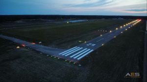
It is exactly the kind of documentation that adds value for everyone involved: the airport gets a professional record of its infrastructure upgrade, and AES gets a reference that shows potential clients what a completed project actually looks like from the air.
Conclusion
Drone documentation is not a luxury or a marketing exercise. It is a practical tool that adds real value to the delivery of an AGL project. It verifies what was installed, creates a baseline for future maintenance, supports certification processes, and produces visual content that serves both the airport and the supplier for years to come.
The cost is minimal compared to the overall project budget. The window of opportunity is narrow. And the results, once captured, are irreplaceable.